
Progress drone photography
Consistent aerial viewpoints for owner updates, milestone records, stakeholder communication, and construction progress reporting.
Professional aerial photo and video for construction progress, commercial property, site documentation, and project marketing in Seattle and throughout Washington State.
Separate Babang service line · FAA Part 107 certified · Flexible repeat-site coverage
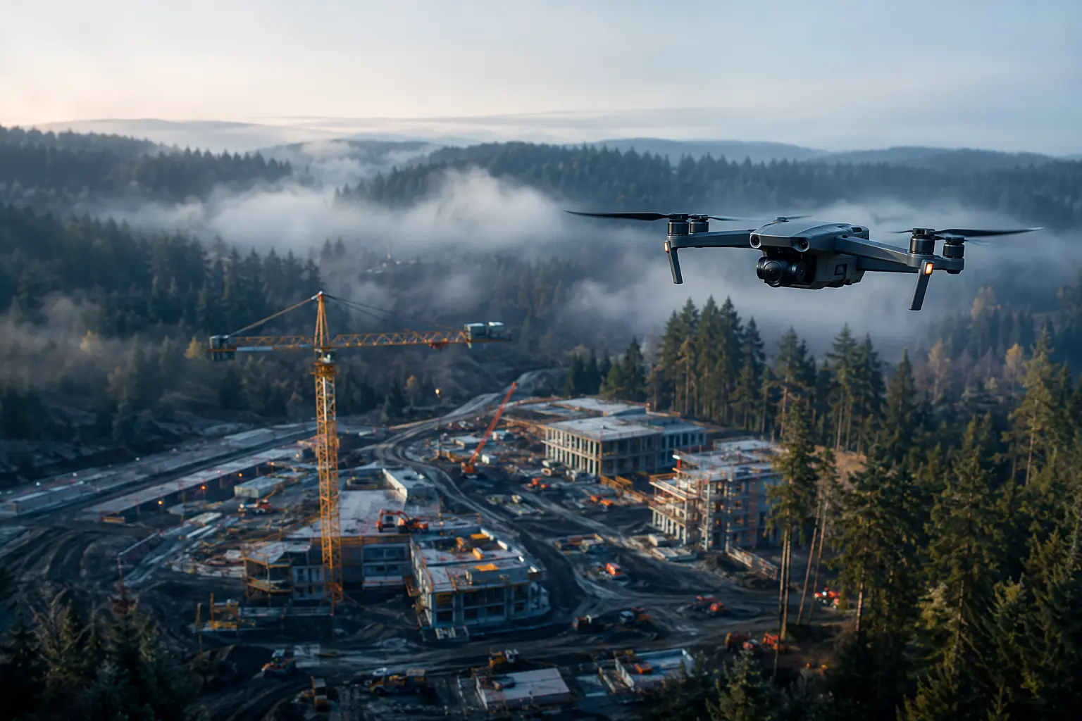
Each flight is planned around the business use: document progress, communicate context, build a record, or market the finished work.
Consistent aerial viewpoints for owner updates, milestone records, stakeholder communication, and construction progress reporting.
Context-rich imagery that shows location, access, scale, surroundings, and the character of a property.
High-level visual documentation for project teams, planning discussions, existing conditions, and long-term records.
Polished drone photos and video clips for websites, proposals, presentations, social media, and project updates.
For a Seattle or Eastside construction site, commercial property, or project update that needs professional imagery without a custom production package.
30% founding-client offer with AHOODI30. Book by October 15, 2026.
We confirm the use and required views before takeoff, then deliver files prepared for the channels your team uses.
Confirm site, timing, intended use, airspace, safety, and priority viewpoints.
Capture the agreed photo and video coverage under safe legal conditions.
Select and finish useful images and stabilize the strongest video clips.
Provide high-resolution files in an organized download within the agreed timeline.
Local coverage centers on King County. Projects elsewhere in Washington are available by arrangement. Travel, permits, complex airspace, larger sites, and recurring flights are quoted separately.
The Aerial Starter Shoot normally costs $350. The limited founding-client offer reduces a qualifying first shoot to $245 through October 15, 2026. Larger or recurring projects are quoted separately.
Local coverage centers on Seattle, Bellevue, Issaquah, Redmond, the Eastside, and King County, with projects elsewhere in Washington available by arrangement.
Every project is subject to safe weather, site conditions, airspace requirements, and applicable law. We coordinate rescheduling or authorization needs if conditions prevent a safe legal flight.
No. We provide visual photo and video documentation, not land surveying, mapping certification, engineering inspection, or other licensed professional conclusions.
Share the location, preferred date, intended use, and whether this is a one-time flight or recurring construction documentation.